")
support@meisterdrucke.com · 0043 4257 29415


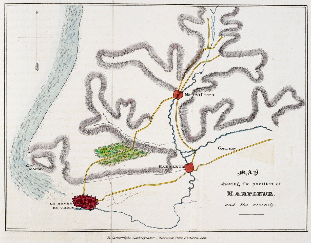
'Mapa znázorňující polohu Harfleuru a okolí.', ilustrace z 'Dějiny bitvy u Agincourtu a výpravy Jindřicha Pátého do Francie...'('Map shewing the position of Harfleur and the vicinity.', illustration from 'The History of the Battle of Agincourt and of the expedition of Henry the Fifth into France...')Nicholas Harris Nicolas |
|
€ 138.32
Enthält 21% MwSt.
|
|
Nedatováno · pen and ink with watercolour on paper
· ID obrazu: 1353383
British Library, London, UK / Bridgeman Images |
| 0 Recenze |


.jpg "The Sun Lathers, 1927")
.jpg "Ležící akt na bílém polštáři")
.jpg "Ilustrace Gustave Dore pro Miltons Paradise Lost, kniha III, 739-741")
.jpg "Soudruzi, 1924")
.jpg "Král lesa, 1878")
.jpg "Portrét umělcovy manželky")
.jpg "Zimní krajina s bruslaři. Kolem roku 1608")
.jpg "Salvator Mundi, kolem roku 1500")
.jpg "Canal Grande, Benátky, pohled na jihovýchod, s Campo della Carità vpravo, 30. léta 18. století.")
.jpg "Nighthawks")
.jpg "Několik kruhů, 1926")
.jpg "Portrét ženy, 1910")
.jpg "Kirche in Cassone")
.jpg "Žena na pláži. 1908")
.jpg "Modrý pokoj")